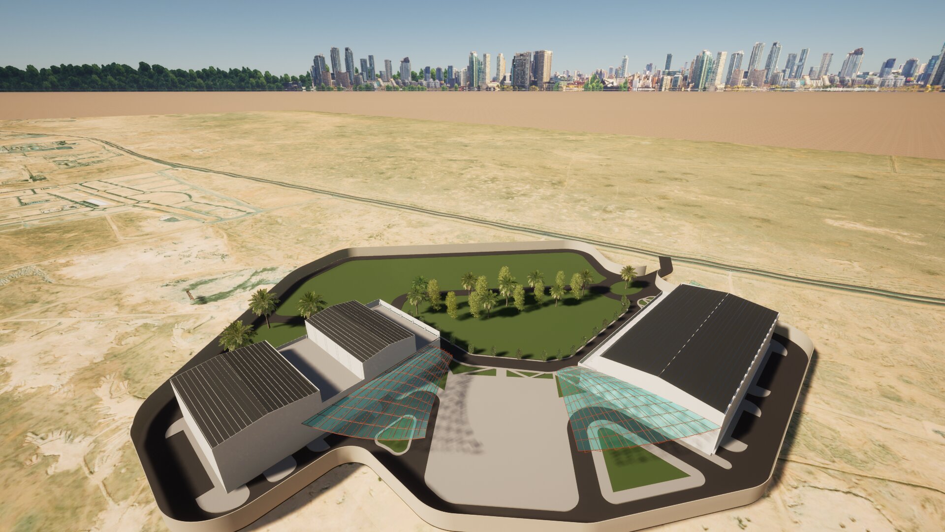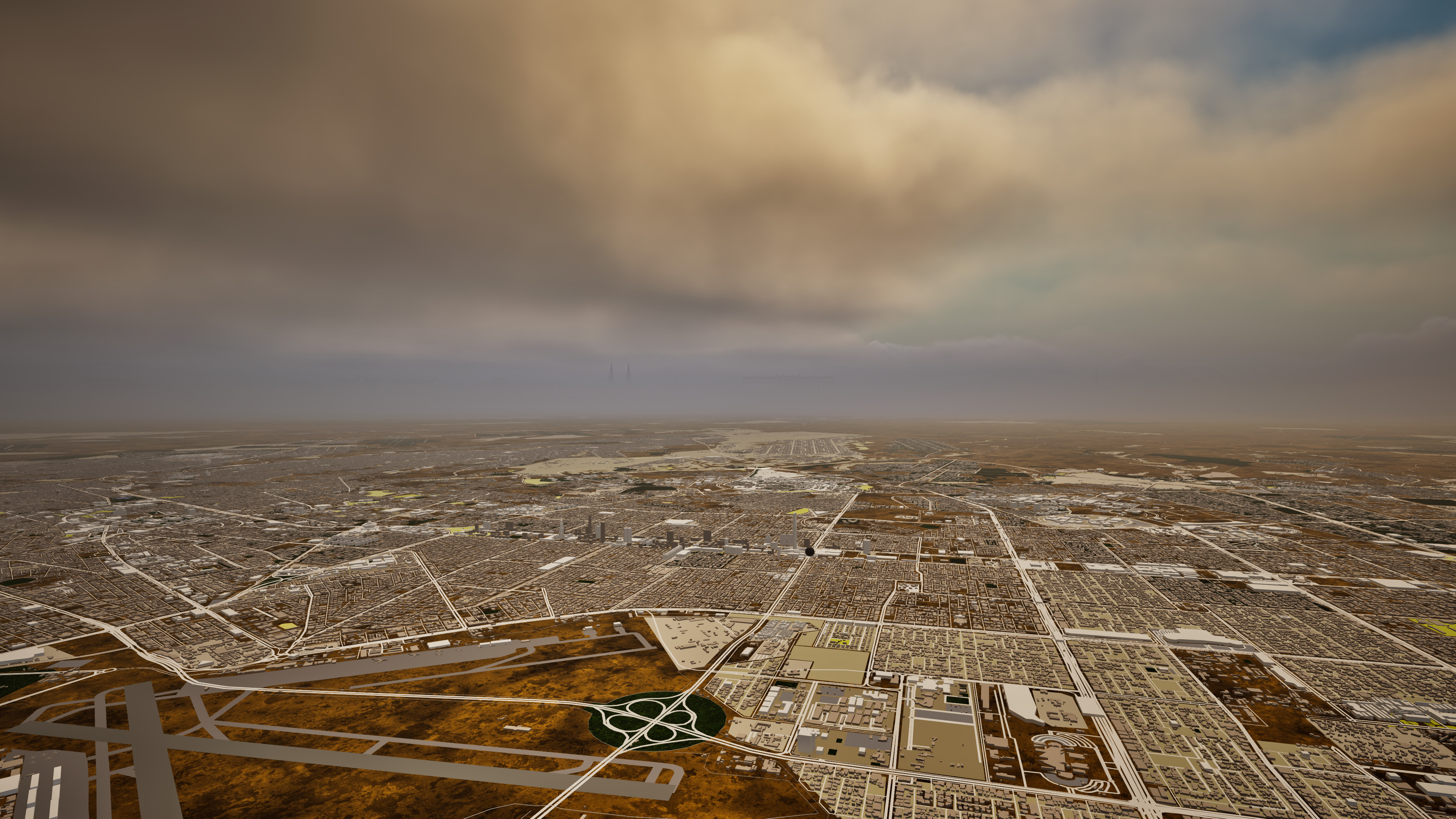
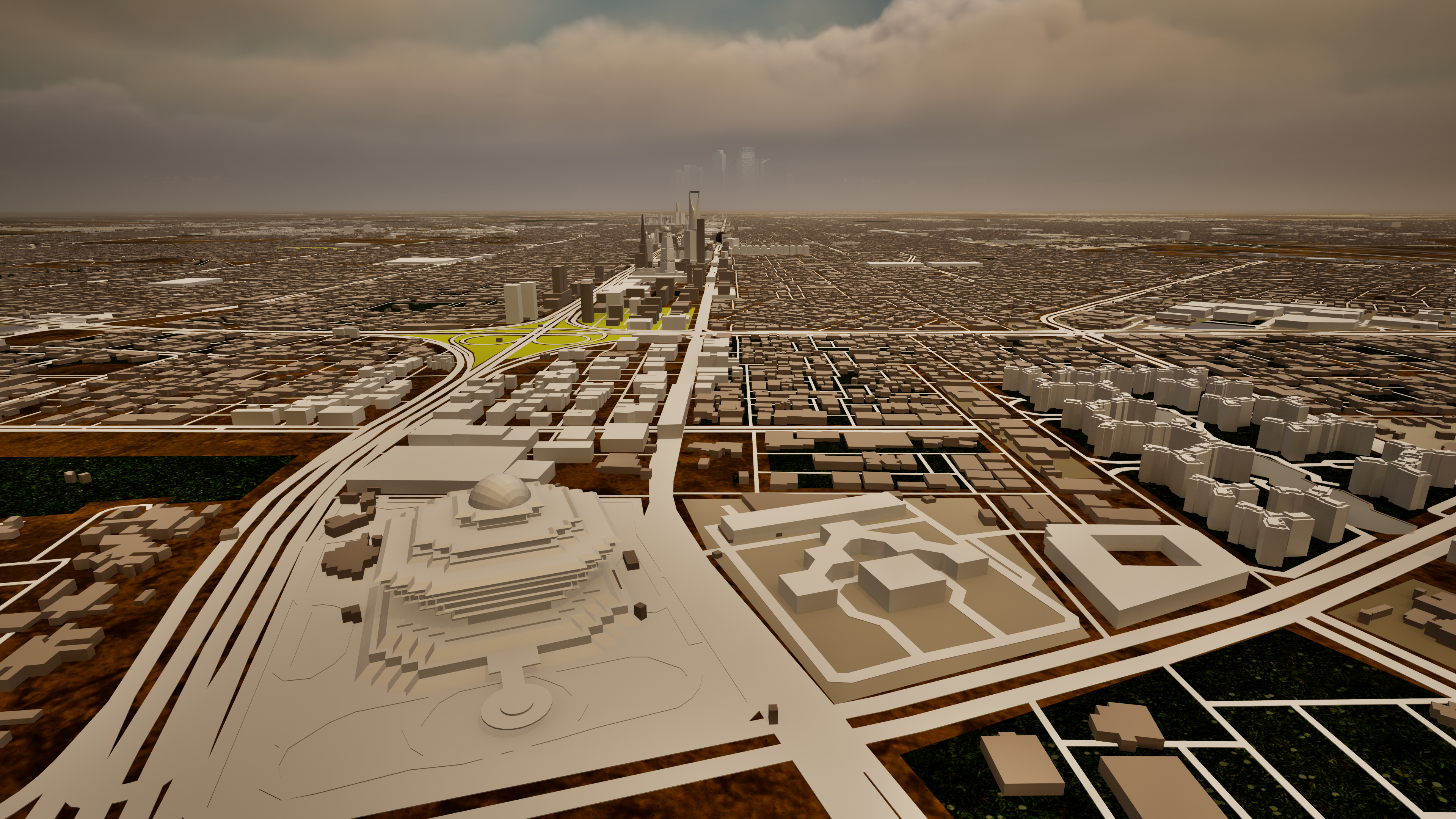
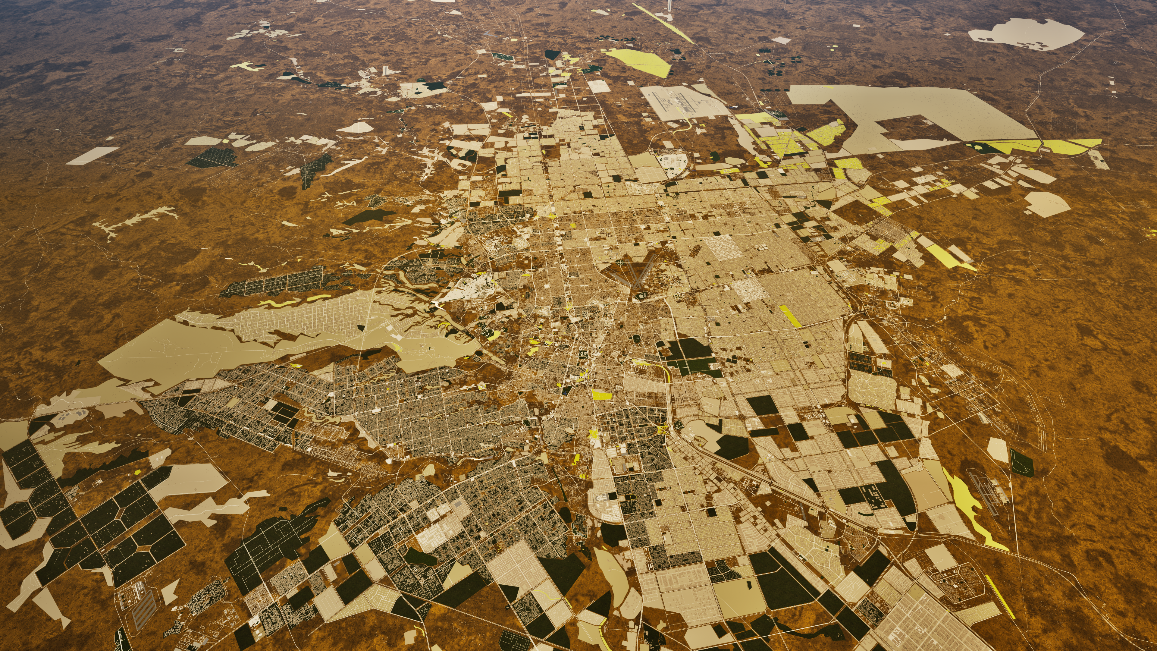
Project Description
Large-scale integrated 3D urban and geographic simulation covering 1,913 km² of Riyadh. Realistic terrain, road networks, and urban environment modeled and merged to reflect actual site conditions. Combining VDC (Virtual Design & Construction) and VFX cinematic visualization techniques — 98% accuracy based on GIS data and survey.
Applications & Benefits:
• Decision support for urban planning and infrastructure projects
• Realistic pre-execution site analysis and engineering risk reduction
• 4D/5D construction phase simulation and scheduling
• Improved quantity surveying and clash detection
• Professional project presentation to owners and decision-makers
VDC Visualization
Project Gallery